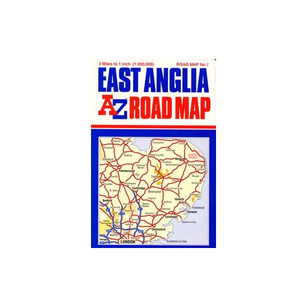
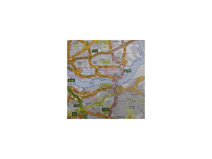
AZ East Anglia Road Map
- Includes:
- Primary routes.
- Motorways.
- A & B roads.
- Ferry routes.
- Places of Interest.
- Proposed roads.
- Information Centres.
- Mileages.
- Airports.
More from Personal and Travel Accessories
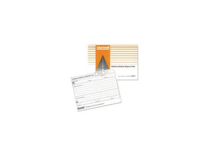
Chartwell Vehicle Defect Report Pad
Chartwell Vehicle Defect Report PadA5 booklet for recording and reporting vehicle defects. Contains fifty duplicated pages, numbered and punched for filing. Coming in an A5 size for easy storage and e[...]
Filofax Breast Cancer Campaign Leather Passport Cover Pink
Filofax Leather Passport HolderMaterial: Grained LeatherSize: Width 100mm, height 140mmColour: PinkInternal DesignLeft: Flap pocket with three vertical credit card pocketsRight: One full length vertic[...]
Filofax Breast Cancer Campaign Accessory Case Pink
Filofax Leather Accessory CaseMaterial: Grained LeatherSize: Length: 182mm, Width 49mm, height 83mmColour: PinkZip closureQuality leather case is ideal for home, office and travellingConvenient size a[...]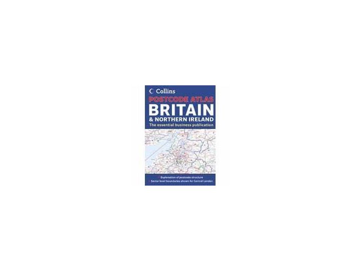
Postcode Atlas of Great Britain and Northern Ireland
Collins Postcode Atlas of Great Britain and Northern IrelandThis invaluable atlas displays postcode areas and districts for the whole of the United Kingdom and has been fully updated with all the most[...]More from A-Z Maps
A-Z Road Map of the M25 Area, Double Sided with Street Index on Reverse, 900 x 1150mm, Edition 4 2000
A-Z Road Map of the M25 AreaScale of approximately 1 mile to 1". Covers the area within the M25. On the reverse is an index to streets, places and areas, named junctions and selected tourist informati[...]